01-2014 to 12-2016
€1 107 399
Pieter Kempeneers
pieter.kempeneers@vito.be
Ben Somers
ben.somers@ees.kuleuven.be
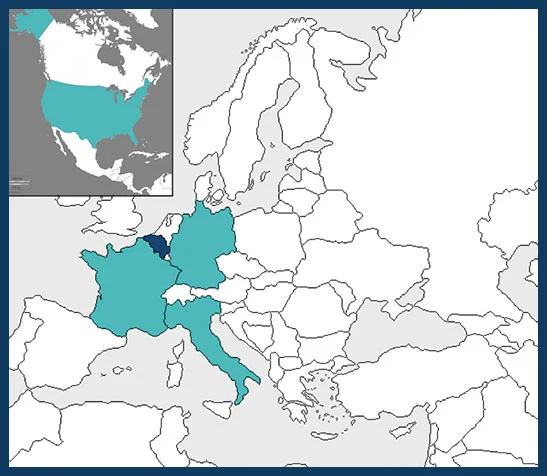
Flemish Institute for Technological Research – BELGIUM (Coordinator)
Katholieke Universiteit Leuven – BELGIUM
CNRS – University of Picardie Jules Verne – FRANCE
Friedrich-Alexander-Universität Erlangen-Nüremberg – GERMANY
Karlsruhe Institute of Technology – GERMANY
Fondazione Edmund Mach – Research and Innovation Centre – ITALY
Carnegie Institution for Science – USA

The biodiversity conservation policy of the European Commission includes the development of warning and rapid response systems for biological invasions and urges further investigations of their impacts on ecosystem function and services. However, accurately detecting and mapping invasive plant species distributions based on commonly used field surveys is a very time consuming process, often subject to observations biases. Furthermore, some consequential impacts, particularly at the ecosystem level, are not readily detected using traditional approaches. Also the limited potential for generalization of impacts from the plot scale to the landscape- and the regional scales remains a serious drawback of the classical field survey approaches.
Remote sensing technology provides a systematic, objective and synoptic view of the Earth’s surface, offering the capacity to generate large, statistically valid predictions of species distributions. It is yet largely underexplored and underused by ecologists, although it offers a great opportunity to target biological invasion and their impact at various spatial and temporal scales. By bringing together ecologists and remote sensing specialists, DIARS will contribute to increase interdisciplinary links and to fill the gap between these field and remote sensing approaches.
DIARS aims at better demonstrating and characterizing the impact of invasive species on ecosystems through the combined use of field data and data obtained through remote-sensing technologies. It also aims at supporting monitoring, prediction of spread and risk assessment of invasive plant species through remote sensing as preconditions for taking management measures for mitigation.
To achieve these goals, DIARS will study the following aspects:
• Quantify, study and better understand the effects of biological invasions (for plants) on ecosystem properties/functioning, through
remote sensing approaches
• Develop and validate an approach to create accurate fine-resolution
baseline maps and scenarios of the distribution of invasive plant
species at the landscape scale
• Assess possibilities and constraints for generalization of the
proposed advanced remote sensing approaches across ecosystems
and invasive species
• Develop and disseminate a toolbox for remote sensing-based
mapping, warning and impact assessment for invasive species.
In the course of the project, three different plant life forms (a bryophyte, an herbaceous species and a tree species) and three different ecoregions (Atlantic – Flanders, Belgium; continental – central-Germany and Mediterranean – South France) will be studied, allowing to identify methodological problems that might be encountered in this kind of investigation and to assess the generalization potential of this approach.
The project outputs will be disseminated and a knowledge transfer will be implemented through the organization of hands-on training for ecologists, conservation biologists, policy makers and landscape managers across Europe.